GPS Correlate
Attaches GPS location to images
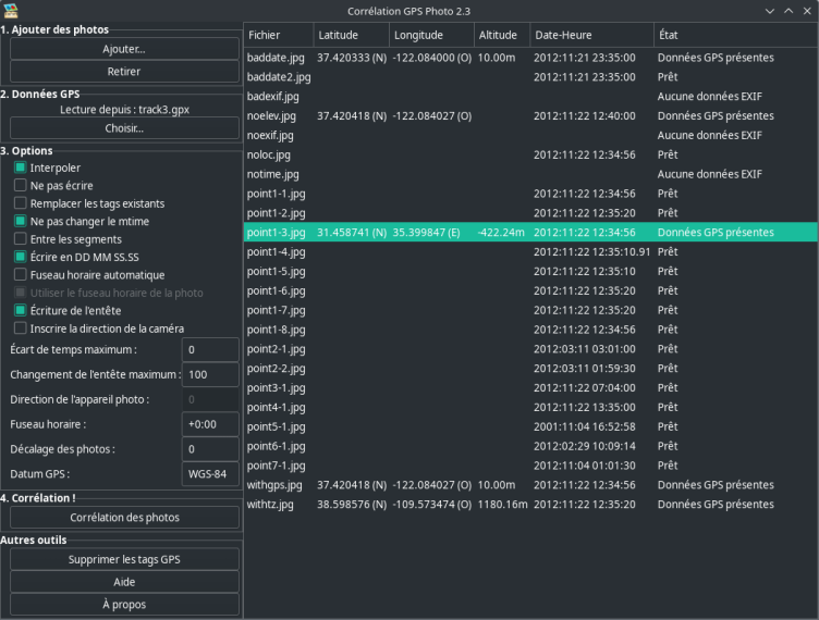
GPS Correlate takes a GPS track stored by any of a number of GPS devices and phone apps and correlates the time stamp of a digital photo with the location of the track at that same moment. The location of the image is then stamped directly into the image file using the appropriate EXIF GPS tags. The resulting image then contains not just the time the photo was taken but its exact location, too. The location is used by various other applications and services (such as Google Photos) to display a map of where the photo was taken.
Have it
$ nami install gpscorrelate
Or one line in your user.nami or a computer's computer.nami: - gpscorrelate. An older one, 2.3: - gpscorrelate: 2.3 (its newest, 2.3). Every version it has had: nami versions gpscorrelate, or pick one in the window. Apps, in the docs